
Morning Rounds
From trimming wicks to polishing lenses, each dawn began with exacting checks that kept the beacon dependable for passing crews.
Northern Coast Archive
Explore archival imagery, keeper recollections, and shoreline context that trace how these beacons shaped maritime life across generations.
Explore the mapHistory Introduction
Before charts were common and radios reliable, lighthouse stations connected sea routes, weather warnings, and shoreline communities into one shared coastal system.
Lights, fog signals, and fixed intervals helped captains identify dangerous shoals and align safe approaches to harbor in poor visibility.
Keepers kept logbooks of wind shifts, squalls, and tides, turning daily observations into practical warnings for fishing fleets and mail steamers.
As ports changed and routes moved, the towers remained as local reference points, preserving stories of labor, rescue, and shoreline identity.
Keeper Stories
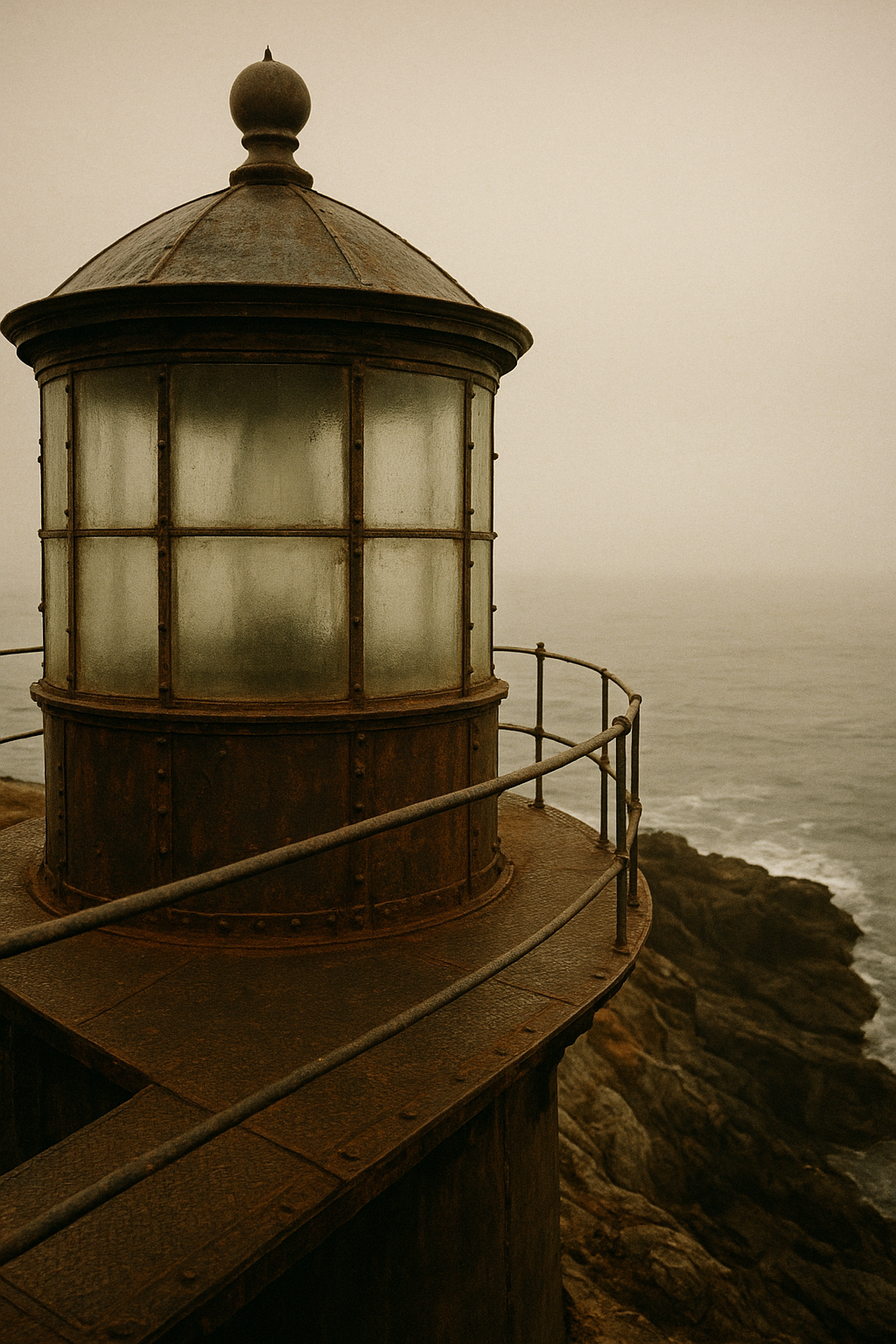
Before the timeline continues, these brief accounts show how routine, weather, and human connection shaped daily life at the northern stations.
From trimming wicks to polishing lenses, each dawn began with exacting checks that kept the beacon dependable for passing crews.
During winter blows, keepers logged wind shifts and wave height through the night, pairing local judgment with disciplined record-keeping.
Letters, supply boats, and occasional harbor visits linked isolated towers to nearby towns, sustaining both duty and community memory.
Coastline chronology
A concise sequence linking early beacon building to present-day preservation, so today’s mapped towers can be read as part of a longer coastal history.
1820s
Harbor-mouth beacons and first fixed lights mark dangerous headlands.
1850–1880
A wider chain of towers extends coverage between ports and exposed shoals.
1890s
Lens upgrades and brighter fuels sharpen range, rhythm, and night visibility.
1930s–1970s
Remote operation reduces resident keepers; several stations are decommissioned.
1980s–today
Local trusts and heritage bodies stabilize surviving towers as public landmarks.
Archive photographs
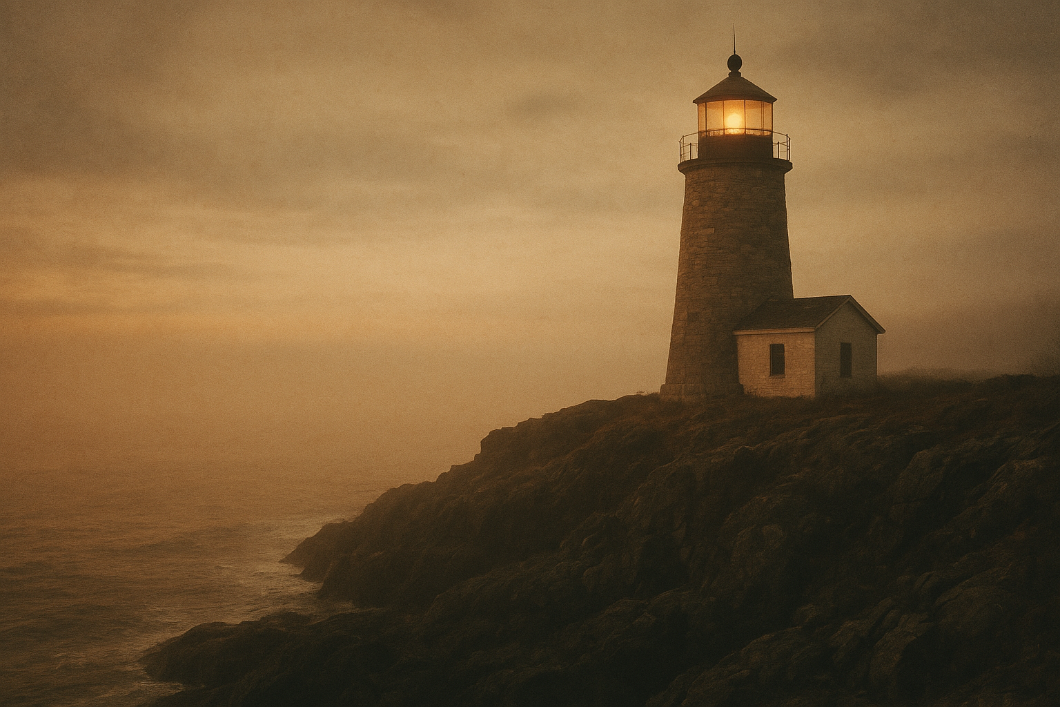
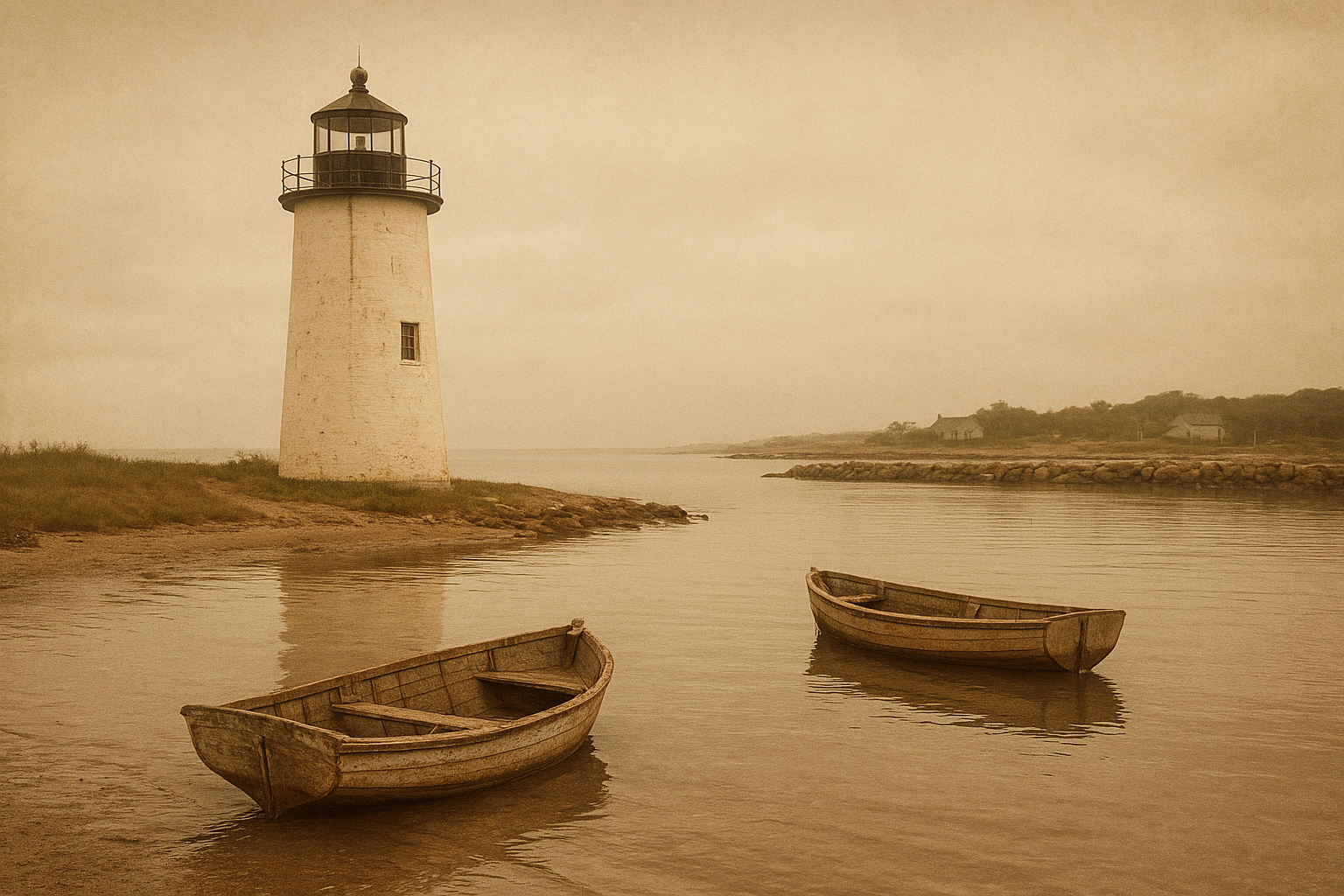
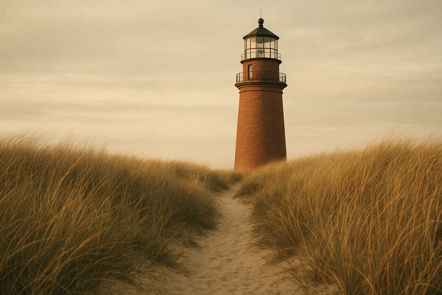
A small selection of archival frames preserving tower forms, shoreline weather, and the working texture of beacon life.

Visit Notes
A concise guide to what this archive includes, how materials are interpreted, and what the preserved towers map is intended to show.
“Preserved” refers to towers, keeper buildings, or documented structural remains that are still identifiable in place, even when altered from their original operating condition.
The stories combine logbook excerpts, maintenance records, family recollections, and local oral history to show daily routines, weather risks, and service life at each station.
The map marks known lighthouse sites along the northern coast and distinguishes surviving structures from historical footprints documented through survey records and archives.
Images are chosen for documented provenance, date clarity, and relevance to each site; restoration is limited to legibility adjustments while preserving original grain, framing, and caption context.
The strongest coverage spans the mid-19th to mid-20th century, when coastal light networks expanded, keeper service was most intensive, and transitions toward automation began.